Land For Sale £15,000
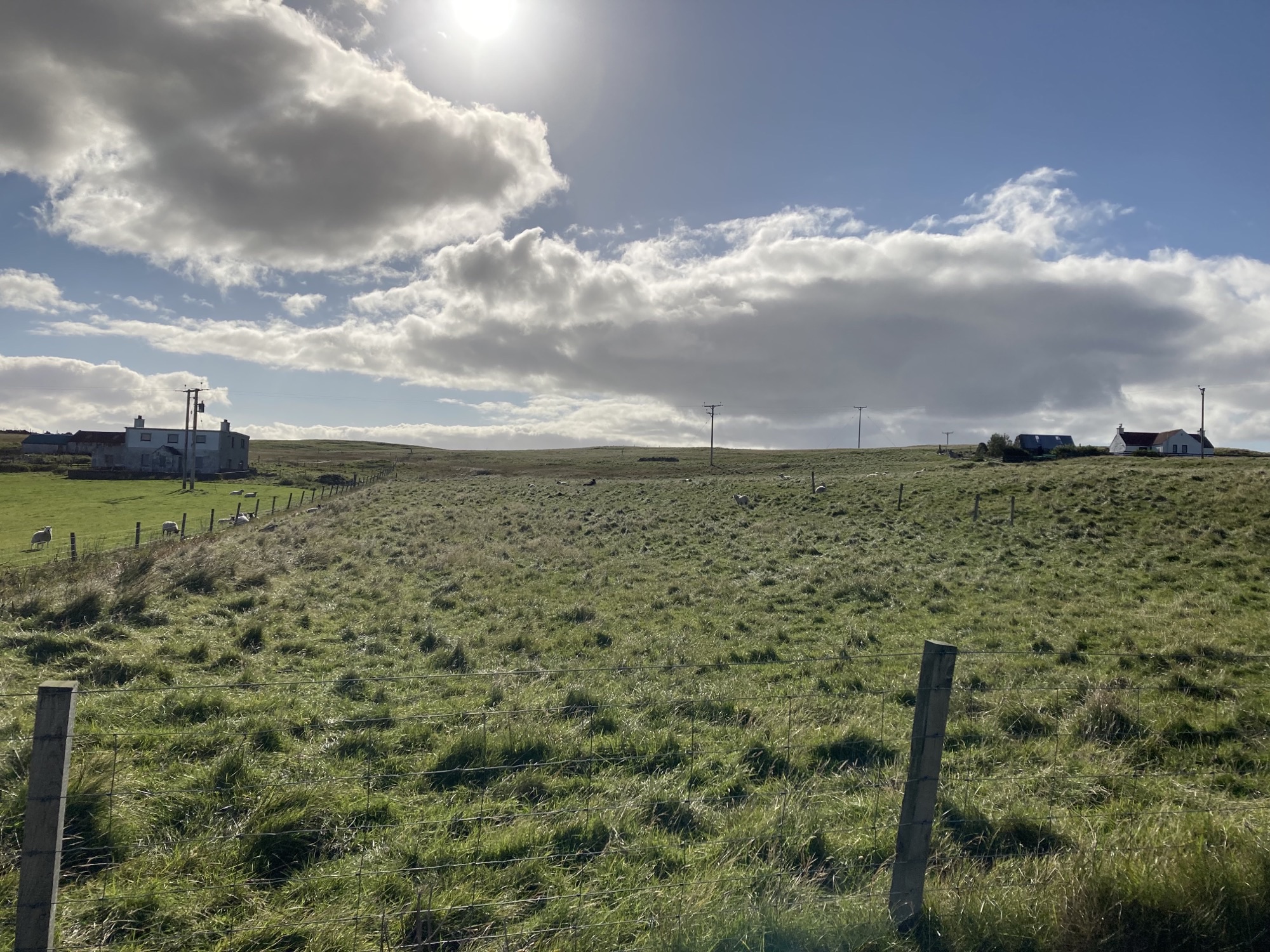
Owner/occupied croft called Neabrigarth which is also known locally as Jacobsons, is Field 7 on the iacs map provided. The area of this croft is 4.63 hectares (or nearly 11 ½ acres). The land is generally good grazing land.
Registered Croft No: Z1603. Valuation £15,000. Area marked in pink on ordnance plan
General croft information:-
Rural Payments–Identifier Code: Hu/27923/14905. Included is one share in the Gruting District Common Grazings (cg/Z/033)No dwellinghouse included
This land can be purchased separately or together with Gruting tenanted croft land – see separate Gruting advert on Anderson Strathern Website.
Directions:
Take A971 road to Bixter and continue west following signs for 'Sandness, Walls A971'.
Turn Left at Signs 'Gruting Staneydale' and 'Staneydale Temple' Historic Brown sign.
Drive past 'Staneydale Temple' to the end of the road.
At a crossroad junction, go straight ahead at the 'Gruting' sign.
Turn right at the three-pronged road towards the sea.
After the cattle grid, turn first left and drive parallel with the sea voe.
Land is situated on the lefthand side opposite the cementry.
Viewing
Tel Lerwick Office
