Dry Falls
Français Nederlands Čeština فارسی Deutsch Polski Lietuvių Українська 中文 Italiano
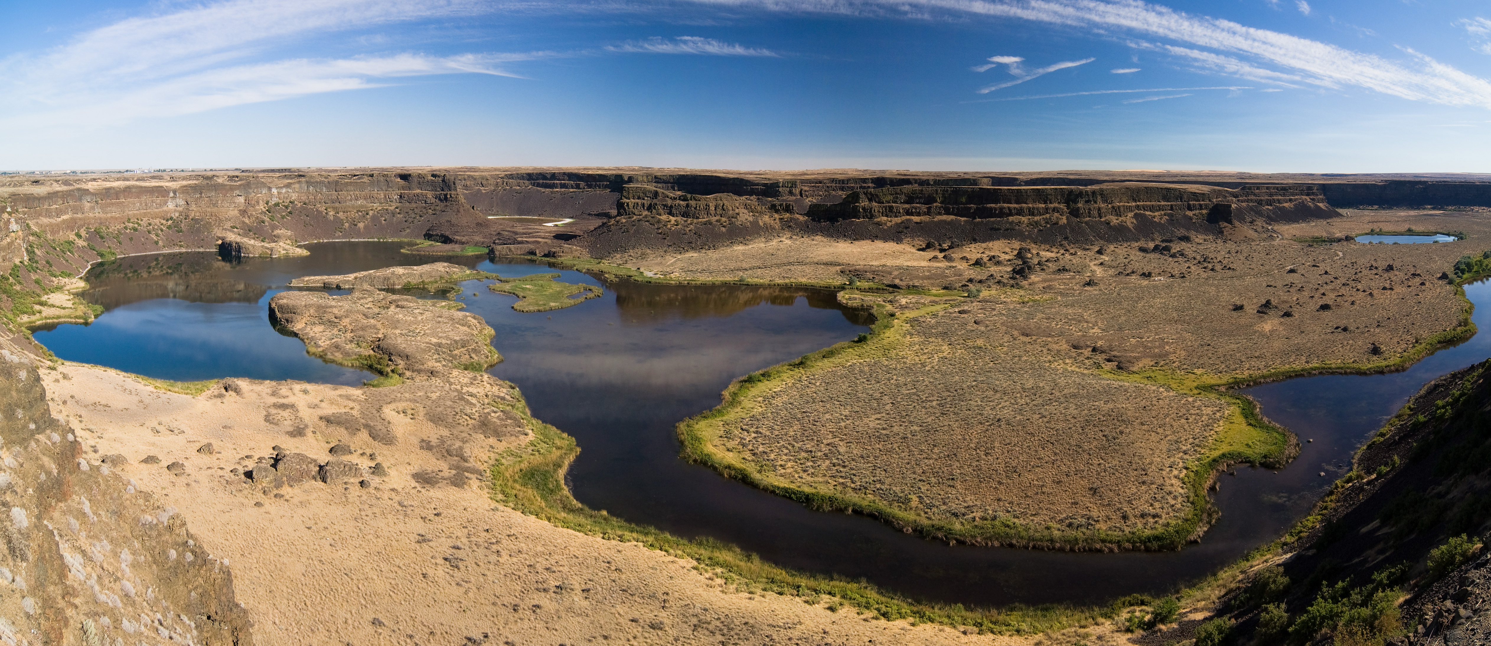
Dry Falls is a 3.5-mile-long (5.6 km) scalloped precipice with four major alcoves, in central Washington scablands. This cataract complex is on the opposite side of the Upper Grand Coulee from the Columbia River, and at the head of the Lower Grand Coulee, northern end of Lenore Canyon. According to the current geological model, catastrophic flooding channeled water at 65 miles per hour (105 kph) through the Upper Grand Coulee and over this 400-foot (120 m) rock face at the end of the last glaciation. It is estimated that the falls were five times the width of Niagara Falls,: 116 with ten times the flow of all the current rivers in the world combined.
